Tag Archives: CRM EH

Linked Data: From interoperable to interoperating

Archaeogeomancy: Digital Heritage Specialists – archaeological geomatics – the majick of spatial data in archaeology – archaeological information systems for the digital age:

Piazza Mercato, Siena

Piazza Mercato, Siena

Videos of all the presentations in this CAA session, held in Siena 2015, which I blogged about earlier. Full credit and thanks due to Doug Rocks-Macqueen and his Recording Archaeology project for recording and making this and other sessions available (see also the session on ArchaeoFOSS and the keynotes). Thanks also to Leif Isaksen and Keith May for organising and chairing the session.

The session outline:

Linked Data and Semantic Web based approaches to data management have now become commonplace in the field of heritage. So commonplace in fact, that despite frequent mention in digital literature, and a growing familiarity with concepts such as URIs and RDF across the domain, it is starting to see fall off in Computer Science conferences and journals as many of the purely technical issues are seen to be ‘solved’. So is the revolution over? We propose that until the benefits of Linked Data are seen in real interconnections between independent systems it will not properly have begun. This session will discuss the socio-technical challenges required to build a concrete Semantic Web in the heritage sector.

The videos for the accepted papers:

  • The Syrian Heritage Project in the IT infrastructure of the German Archaeological InstitutePhilipp Gerth, Sebastian Cuy (video)
  • Using CIDOC CRM for dynamically querying ArSol, a relational database, from the semantic webOlivier Marlet, Stéphane Curet, Xavier Rodier, Béatrice Bouchou-Markhoff (video)
  • How to move from Relational to Linked Open Data 5 Star – a numismatic exampleKarsten Tolle, David Wigg-Wolf (video)
  • The Labeling System: A bottom-up approach for enriched vocabularies in the humanitiesFlorian Thiery, Thomas Engel (video)
  • From interoperable to interoperating Geosemantic resourcesPaul J Cripps, Douglas Tudhope (video)

The playlist for the session:

The post Linked Data: From interoperable to interoperating appeared first on Archaeogeomancy: Digital Heritage Specialists.

From interoperable to interoperating Geosemantic resources

Archaeogeomancy: Digital Heritage Specialists – archaeological geomatics – the majick of spatial data in archaeology – archaeological information systems for the digital age:

Ospedale Psichiatrico - the conference venue, aka the Asylum...

Ospedale Psichiatrico – the conference venue, aka (rather appropriately, perhaps) the Asylum…

Following on from my earlier post on CAA2015, my presentation entitled From interoperable to interoperating Geosemantic resources is now available on YouTube thanks to Doug Rocks-Macqueen and his Recording Archaeology project. Indeed, there are a whole collection of presentations from the conference (and numerous others conferences) available, all thanks to Doug’s dedication; his work is a great asset to the community and the growing resource he is creating is of enormous benefit so all thanks due to Doug.

Anyway, back on topic.

There is a competition with a super special prize for the person who guesses correctly the number of times I say ‘um’ during the presentation; answers on a postcard please :-)

Whilst in Siena, as well as hearing all the fantastically interesting talks and networking over a beer or two, there was a little time for some sightseeing and photography:

The post From interoperable to interoperating Geosemantic resources appeared first on Archaeogeomancy: Digital Heritage Specialists.

GSTAR @ Computer Applications in Archaeology (CAA) 2015

Archaeogeomancy: Digital Heritage Specialists – archaeological geomatics – the majick of spatial data in archaeology – archaeological information systems for the digital age:

Conference

Conference

Following on from my presentation at CAA2014 in Paris, I was invited to submit a paper to a session at CAA2015 covering Linked Data (LD) and focussing on the difference between being theoretically interoperable and interoperating in practice.

Conference Session

The session abstract is as follows:

Linked Data and Semantic Web based approaches to data management have now become commonplace in the field of heritage. So commonplace in fact, that despite frequent mention in digital literature, and a growing familiarity with concepts such as URIs and RDF across the domain, it is starting to see fall off in Computer Science conferences and journals as many of the purely technical issues are seen to be ‘solved’. So is the revolution over? We propose that until the benefits of Linked Data are seen in real interconnections between independent systems it will not properly have begun. This session will discuss the socio-technical challenges required to build a concrete Semantic Web in the heritage sector.

We particularly invite papers that offer practical approaches and experience relating to:

  • Interface development and user support for ingestion, annotation and consumption
  • Management, publication and sustainability of Linked Data resources
  • Building cross and inter-domain Linked Data communities
  • Processes for establishing usage conventions of specific terms, vocabularies and ontologies
  • Alignment processes for overlapping vocabularies
  • Engage non-technical users with adopting semantic technologies
  • Licensing and acknowledgment in distributed systems (especially those across multiple legal jurisdictions)
  • Incorporation within other software paradigms: TEI, GIS, plain text, imaging software, VR, etc.
  • Access implications of integrating open and private content
  • Mapping the Field – what components are now properly in place? What remains to be done?

Papers should try to provide evidence of proposed approaches in use across multiple systems wherever possible. Purely theoretical papers and those dealing solely with a single data system are explicitly out of scope for this session.

Keywords: Linked Data, Semantic Web, Web Science
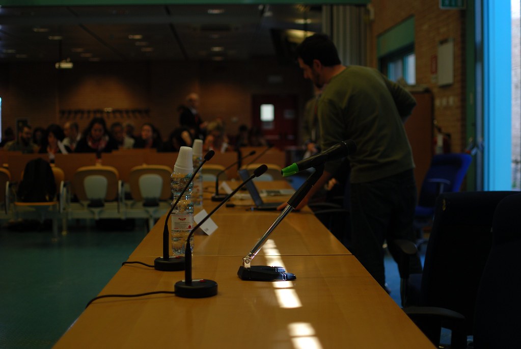
Conference Paper

The abstract for the paper is as follows:

From interoperable to interoperating Geosemantic resources; practical examples of producing and using Linked Geospatial Data

Paul Cripps, University of South Wales (paul.cripps@southwales.ac.uk);

Douglas Tudhope, University of South Wales (douglas.tudhope@southwales.ac.uk)

Keywords: Geospatial; Linked Data; ontology; CIDOC CRM; GeoSPARQL

The concept of using geospatial information within Semantic Web and Linked Data environments is not new. For example, geospatial information was very much at the heart of the CRMEH archaeological extension to the CIDOC CRM a decade ago (Cripps et al. 2004) although this was not implemented; a review of the situation regarding geosemantics in 2005 commented “the semantic web is not ready to provide the expressiveness in terms of rules and language for geospatial application” (O’Dea et al. 2005 p.73). It is only recently that Linked Geospatial Data has begun to become a reality through works such as GeoSPARQL (Perry & Herring 2012; Battle & Kolas 2012), a W3C/OGC standard, and the emerging CRMgeo standard (Doerr & Hiebel 2013). This paper presents some real world, practical examples of creating and working with archaeological geosemantic resources using currently available standards and Open Source tools.

The first example demonstrates a lightweight mapping between the CRMEH, CIDOC CRM and GeoSPARQL ontologies using data available from the Archaeology Data Service (ADS) digital archive and Linked Data repository. The second example demonstrates the use of Ordnance Survey (OS) Open Data within a Linked Data resource published via the ADS Linked Data repository. Both examples feature the use of Open Source tools including the STELLAR toolkit, Open Refine, Parliament, OS OpenSpace API and custom components developed and released under open license.

The first example will also be placed in the context of the GSTAR project which is using the approaches described to produce Linked Geospatial Data for research purposes from commonly used platforms for managing archaeological resources within the UK heritage sector. These include the Historic Buildings and Sites and Monuments Record  (HBSMR) software from exeGesIS, used by UK Historic Environment Records (HERs), and MODES, used by museums for managing museum collections. As such, the outputs from the GSTAR project have wider applicability in moving geosemantic information from interoperable to interoperating in the UK.

Battle, R. & Kolas, D., 2012. GeoSPARQL: Enabling a Geospatial Semantic Web. Semantic Web Journal, 0(0), pp.1–17.

Cripps, P. et al., 2004. Ontological Modelling of the work of the Centre for Archaeology, Heraklion. Available at: http://cidoc.ics.forth.gr/docs/Ontological_Modelling_Project_Report_ Sep2004.pdf.

Doerr, M. & Hiebel, G., 2013. CRMgeo : Linking the CIDOC CRM to GeoSPARQL through a Spatiotemporal Refinement, Heraklion.

O’Dea, D., Geoghegan, S. & Ekins, C., 2005. Dealing with geospatial information in the semantic web. In AOW ’05 Proceedings of the 2005 Australasian Ontology Workshop – Volume 58. pp. 69–73. Available at: http://dl.acm.org/citation.cfm?id=1151945 [Accessed April 13, 2013].

Perry, M. & Herring, J., 2012. OGC GeoSPARQL – A Geographic Query Language for RDF Data, Available at: http://www.opengis.net/doc/IS/geosparql/1.0.

GSTAR @ CAA: From interoperable to Interoperating

My work on the GSTAR project addresses exactly the issues raised in the session abstract through an investigation of the application of Linked Geospatial Data (LGD) and semantic web techniques for archaeological research purposes; This investigation builds on conceptual structures such as the CIDOC CRM, CRM-EH and GeoSPARQL, incorporating real world archaeological data from a range of sources through to providing working technology demonstrators. This was illustrated through the use of case studies based on my research and also through my work on projects such as the Colonisation of Britain project, undertaken for Wessex Archaeology, and the Later Silbury project, being undertaken for Historic England; the former resulted in a Linked Data resource now online at the Archaeology Data Service and the latter will do too upon completion.

Focussing on producing and then using LGD, my talk looked at the background to my research, the methods, techniques and tools used and some of the pitfalls and successes in creating interoperating LGD resources. I had hoped to be a bit further ahead and be able to demonstrate some map based querying and visualisation in action but at the time, these elements were not ready and interacting with a SPARQL endpoint is hardly the most audience grabbing activity! The research was also put into the context of the broader historic environment sector in England by showing how interoperating geosemantic resources could form the backbone of a digital ecosystem to support research, management and development control functions for a broad range of sectoral user groups.

Where next?

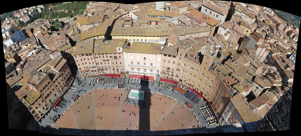
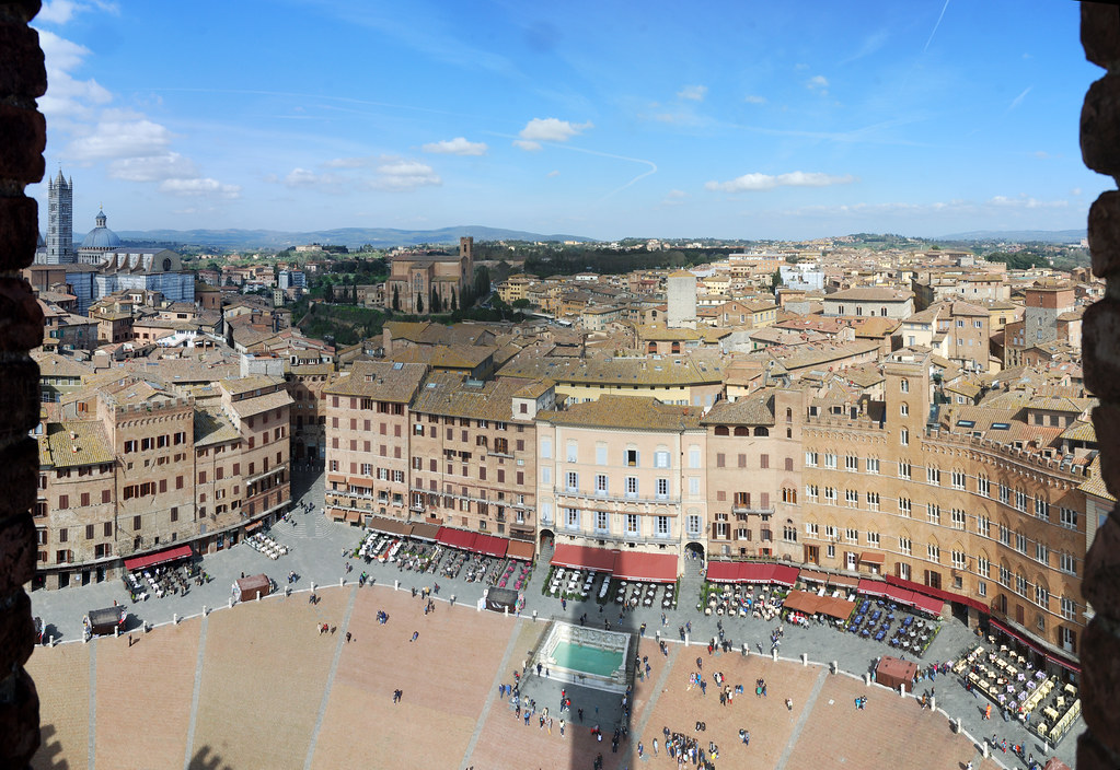
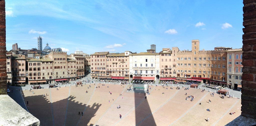
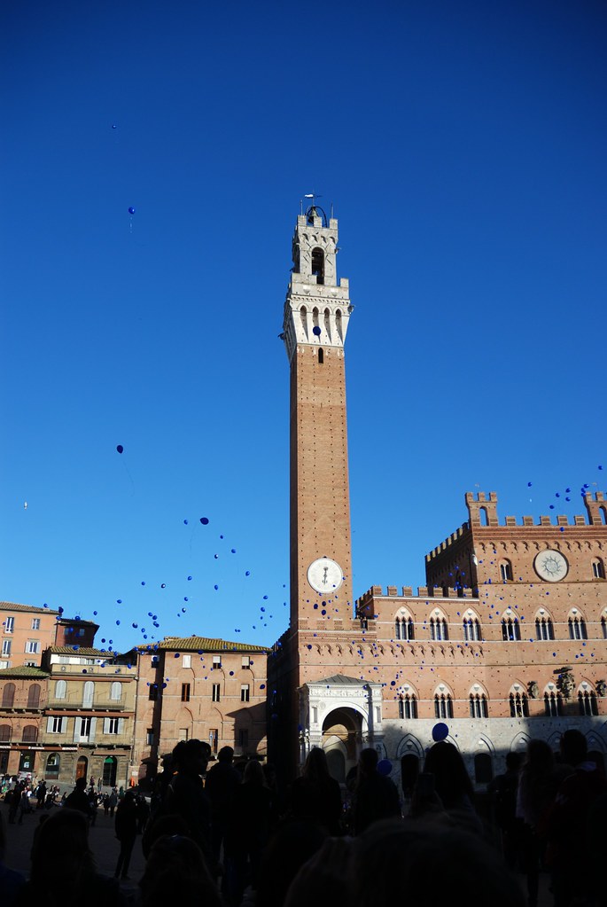
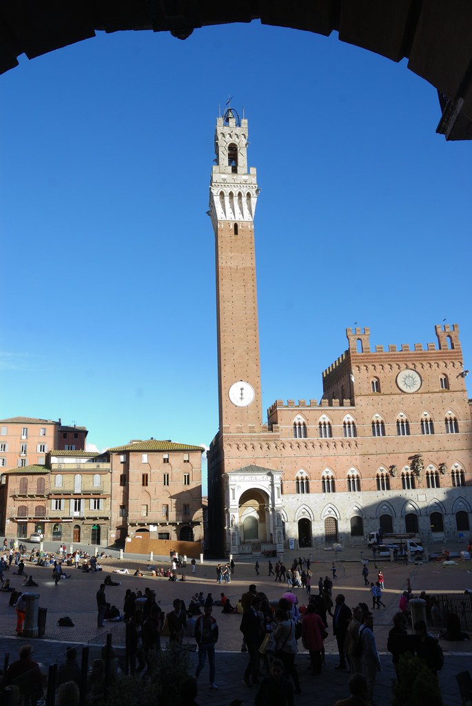
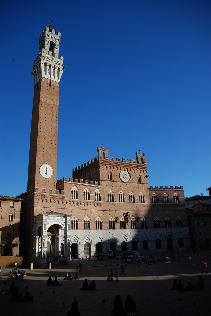
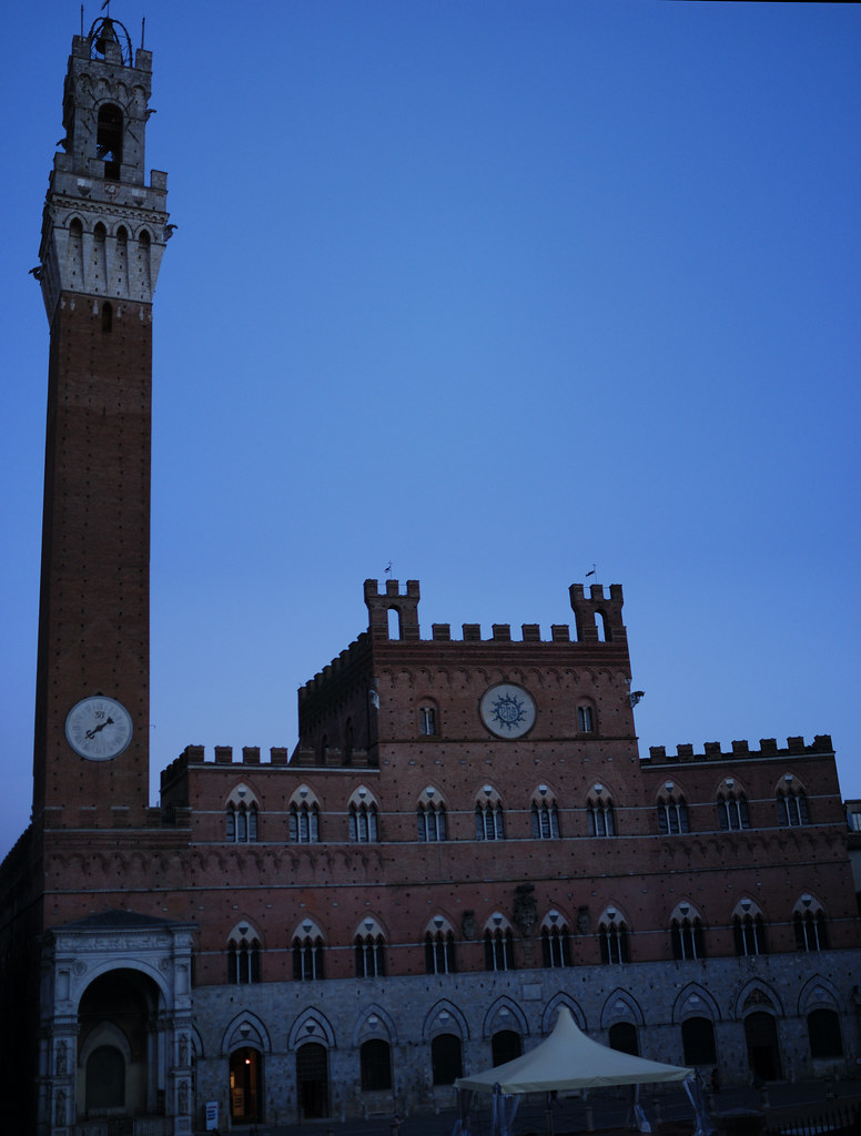
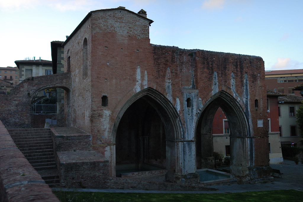
Since returning from Siena, work has proceeded apace to finalise the geosemantic resource ready for the next phase of activity; taking real world archaeological research questions and expressing these using GeoSPARQL queries to demonstrate the way in which such resources can be used for research purposes. Part of this involves engaging domain experts to see where and how their research interests can be elucidated through the applications of such approaches (more on this here).

Ultimately, the querying and results visualisation components will be housed in a web based interface, hiding the complexity of SPARQL endpoints, to demonstrate how geosemantic resources can underpin user focussed research tools such as Virtual Learning Environments. Whilst it would have been nice to present more of this at CAA2015, the plan is now to complete this phase over the summer ready for a fully fledged demonstration of the whole (completed and submitted) research project at CAA2016 in Oslo.

The post GSTAR @ Computer Applications in Archaeology (CAA) 2015 appeared first on Archaeogeomancy: Digital Heritage Specialists.

GSTAR @ CAA2014

Archaeogeomancy: Digital Heritage Specialists – archaeological geomatics – the majick of spatial data in archaeology – archaeological information systems for the digital age:

Eiffel Tower

Eiffel Tower

On Thursday 24th April, I gave a presentation on my PhD research project (GSTAR) to the 2014 Computer Applications and Quantitative Methods in Archaeology conference, Paris, France. The presentation formed part of the session S07 Ontologies and standards for improving interoperability of archaeological data: from models towards practical experiences in various contexts organised by Anne-Violaine Szabados, Katell Briatte, Maria Emilia Masci, and Christophe Tufféry. Reinhard Foertsch and Sebastian Rahtz chaired the session.

Some notes on the session can be found here.

Eiffel Tower

Eiffel Tower

The abstract describes the talk, which covered work to date in the first year of the project:

Much work has been undertaken over the past decade relating to the application of semantic approaches to archaeological data resources, notably by English Heritage and the University of South Wales. These two organisations, over the course of a number of projects, developed an archaeological extension to the CIDOC CRM ontology through the Ontological Modelling Project (Cripps & May, 2010), then applied this to a number of archaeological resources through the subsequent STAR project (May, Binding and Tudhope, 2011), implementing tools to facilitate integration of other resources through the STELLAR project (May, Binding, Tudhope, & Jeffrey, 2012), and now, in partnership with the Bespoke HER User Group, RCAHMS, RCAHMW and Wessex Archaeology, are implementing SKOS based vocabularies and associated tools to enable the augmentation of these semantic resources through the SENESCHAL project.

From the outset, it was observed that the spatial component of archaeological data would be a key element, archaeological data being inherently spatial in nature. To date, most current applications of spatial semantics in the heritage sector have focussed on place names and named locations for sites and monuments and object provenances. The GSTAR project aims to extend semantic approaches to archaeological data fully into the geospatial domain and is instead focussing on the detailed spatial data emerging from archaeological excavation and survey work and is investigating approaches for the creation, use, management and dissemination of such spatial data within a geosemantic framework, building on the CIDOC CRM, with particular reference to sharing and integration of disparate resources.

This paper will present work to date in the first year of the GSTAR project. This has been centred on the identification of suitable platforms and methods for the integration of semantic and geospatial data including comparisons of different approaches emerging from the Semantic Web and Geospatial research communities. Testing and prototyping has been accomplished using sample data from the Archaeology Data Service, making use of available geospatial and (geo)semantic tools, both FOSS and commercial.

Cripps, P. and K. May 2010. To OO or not to OO? Revelations from Ontological Modelling of an Archaeological Information System, in: Nicolucci, F. and S. Hermon (eds.), Beyond the Artifact. Digital Interpretation of the Past. Proceedings of CAA2004, Prato 13–17 April 2004. Archaeolingua, Budapest, pp. 59-63.

May, K., C. Binding and D. Tudhope 2011. A STAR is Born: Some Emerging Semantic Technologies for Archaeological Resources, in: Jerem, E., F. Redő and V. Szeverényi (eds.), On the Road to Reconstructing the Past. Computer Applications and Quantitative Methods in Archaeology (CAA). Proceedings of the 36th International Conference. Budapest, April 2-6, 2008. Archeaeolingua, Budapest, pp. 111-116 (CD-ROM 402-408).

May, K., C. Binding, D. Tudhope and S. Jeffrey 2012. Semantic Technologies Enhancing Links and Linked Data for Archaeological Resources, in: Zhou, M., I. Romanowska, Z. Wu, P. Xu and P. Verhagen (eds.), Revive the Past. Computer Applications and Quantitative Methods in Archaeology (CAA). Proceedings of the 39th International Conference, Beijing, April 12-16.. Pallas Publications, Amsterdam, pp. 261-272.

The presentation is available on Slideshare:

The presentation also prompted some positive comments on Twitter, which was lovely:

The post GSTAR @ CAA2014 appeared first on Archaeogeomancy: Digital Heritage Specialists.

GSTAR: investigation of methods for working with geosemantic data, integrating geospatial data with semantic data

Archaeogeomancy: Digital Heritage Specialists – archaeological geomatics – the majick of spatial data in archaeology – archaeological information systems for the digital age:

Mapping rubble by Brian Hoffman

Mapping rubble by Brian Hoffman

The first investigation in the GeoSemantic Technologies for Archaeological Research (GSTAR) research project is nearing completion, an assessment of approaches to the integration of geospatial archaeological data into a semantic framework to provide geosemantic capabilities.

The investigation draws on archaeological excavation data lodged with the Archaeology Data Service (ADS) and made available as Linked Data (LD) through the ADS’s Linked Data platform. The data relates to the Cobham Golf Course site and was produced by Oxford Archaeology (OA) as part of the Channel Tunnel Rail Link (CTRL) project then turned into a Linked Data resource through the Semantic Technologies Enhancing Links and Linked data for Archaeological Resources (STELLAR) project, undertaken by the Hypermedia Research Unit at the University of South Wales (USW).

Mapping a feature by Wessex Archaeology

Mapping a feature by Wessex Archaeology

The GSTAR literature review identified two strands of integration approaches within published literature. Emerging from the semantic web and Linked Data communities, an approach involving the direct inclusion of geospatial data within semantic resources, leveraging World Wide Web Consortium (W3C) standards for Resource Description Framework (RDF) and Open Geospatial Consortium (OGC) standards for Well Known Text (WKT, part of the Simple Features specification) and GeoSPARQL. Emerging from the Geographic Information Science (GISc) community, approaches involving the use of Web Feature Services (WFS) within broader Spatial Data Infrastructures (SDI) running in parallel and linked to to semantic resources.

This initial GSTAR investigation looked at both these strands with a view to assessing suitable modes for subsequent use in the next phases of the GSTAR project. A WISSKI installation has also been setup to allow for the minting of any additional URIs needed.

GeoSPARQL route

This involved creating geosemantic data aligned with the CRM-EH extension to the CIDOC CRM ontology, stored within the Oracle Spatial & Graph platform and accessed via GeoSPARQL using an Oracle WebLogic web server and the Jena Framework.

[code language=”xml”]
<owl:Class rdf:about="http://purl.org/crmeh#EHE0022_ContextDepiction">
<rdfs:isDefinedBy rdf:resource="http://purl.org/crmeh#CRMEH"/>
<rdfs:subClassOf rdf:resource="http://erlangen-crm.org/110404/E47_Spatial_Coordinates"/>
<rdfs:label>Context Depiction</rdfs:label>
<rdfs:comment>
The Spatial co-ordinates of a Context, defining the actual spatial extent of the context. Usually recorded at the time of excavation or other investigative work
</rdfs:comment>
</owl:Class>
[/code]
The OWL definition of the EHE0022 class used to describe depictions

Further triples were also added to describe the depiction using the GeoSPARQL ogc:hasGeometry and ogc:asWKT properties.

[code language=”xml”]
<owl:ObjectProperty rdf:about="#hasGeometry">
<rdfs:isDefinedBy rdf:resource=""/>
<rdfs:isDefinedBy rdf:resource="http://www.opengis.net/spec/geosparql/1.0"/>
<skos:prefLabel xml:lang="en">hasGeometry</skos:prefLabel>
<dc:date rdf:datatype="http://www.w3.org/2001/XMLSchema#date">2011-06-16</dc:date>
<dc:contributor>Matthew Perry</dc:contributor>
<dc:description xml:lang="en">
A spatial representation for a given feature.
</dc:description>
<rdfs:range rdf:resource="#Geometry"/>
<rdfs:comment xml:lang="en">
A spatial representation for a given feature.
</rdfs:comment>
<rdfs:domain rdf:resource="#Feature"/>
<rdfs:label xml:lang="en">hasGeometry</rdfs:label>
<dc:creator>OGC GeoSPARQL 1.0 Standard Working Group</dc:creator>
<skos:definition xml:lang="en">
A spatial representation for a given feature.
</skos:definition>
</owl:ObjectProperty>
[/code]

The OWL definition of the hasGeometry property

GIS Server route

A second approach used the same base platform and data but accessed the geospatial component via WFS provided by GeoServer, drawing on the Oracle database.

Next steps

The results of this stage and the GSTAR project in general will be presented at the Computer Applications and Quantitative Methods in Archaeology (CAA) conference to be held in Paris, France during April 2014.

Thanks are due to the University of South Wales for funding the GSTAR project and to the people and organisations responsible for the tools, technologies and data being used. Also my PhD supervisor (Prof. Douglas Tudhope; USW), advisors (Dr Mark Ware and Dr Alex Lohfink: USW) and fellow researchers Ceri Binding (USW), Dr Andreas Vlachidis (USW) and Michael Charno (ADS) for their input.

The post GSTAR: investigation of methods for working with geosemantic data, integrating geospatial data with semantic data appeared first on Archaeogeomancy: Digital Heritage Specialists.